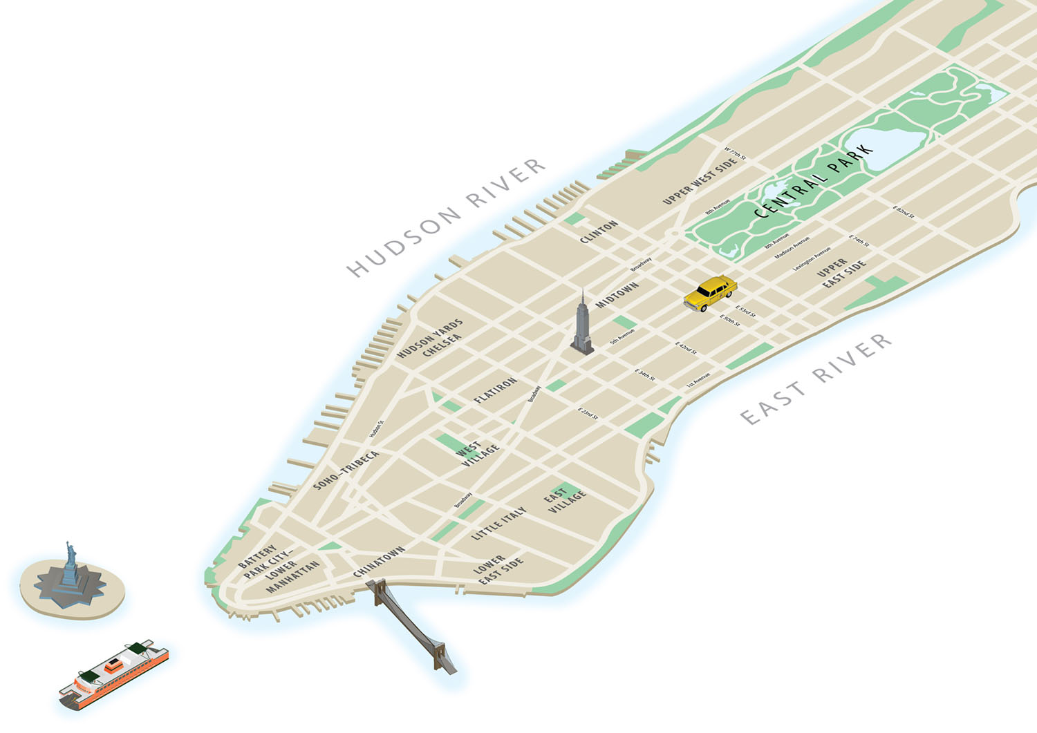
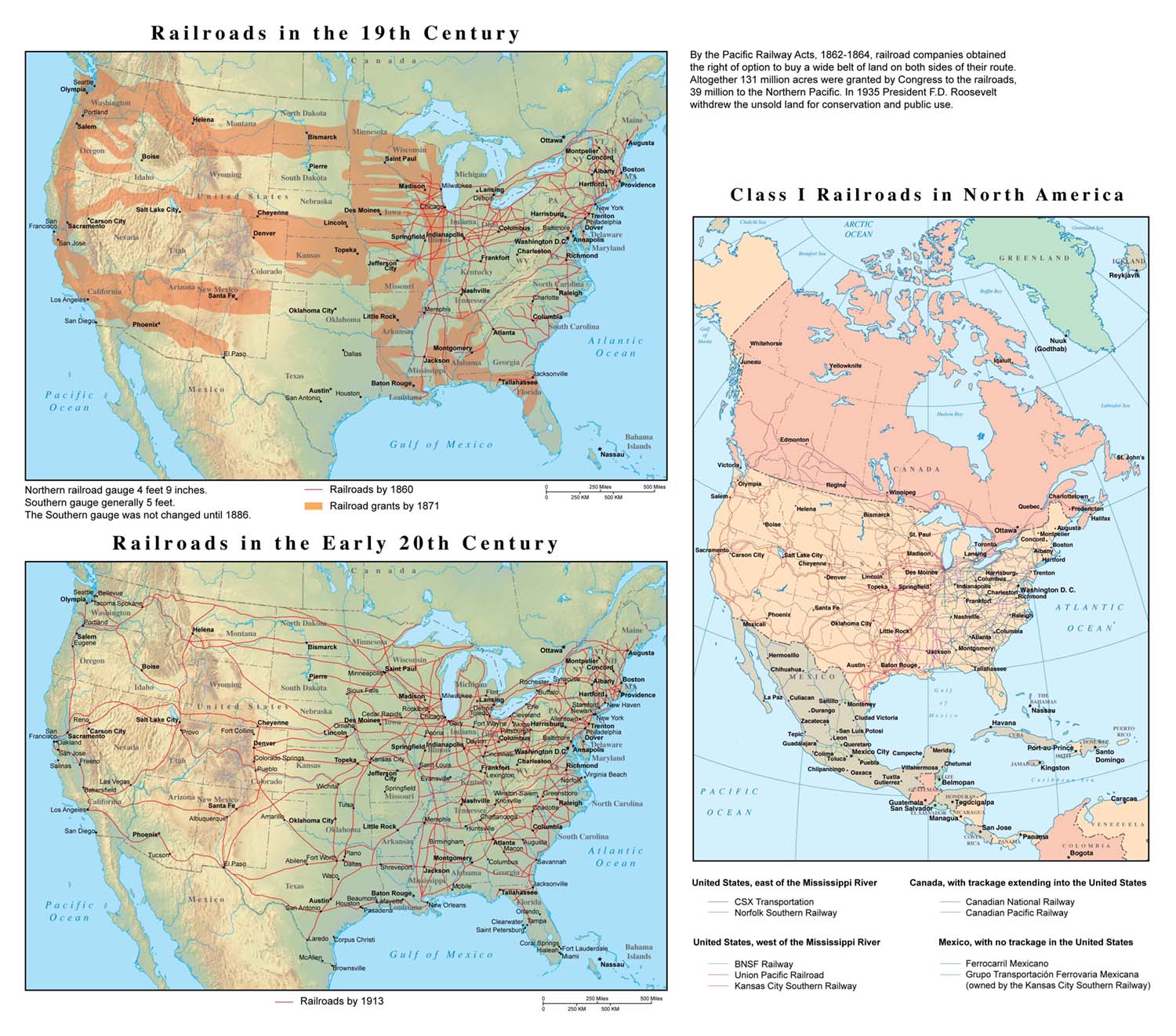
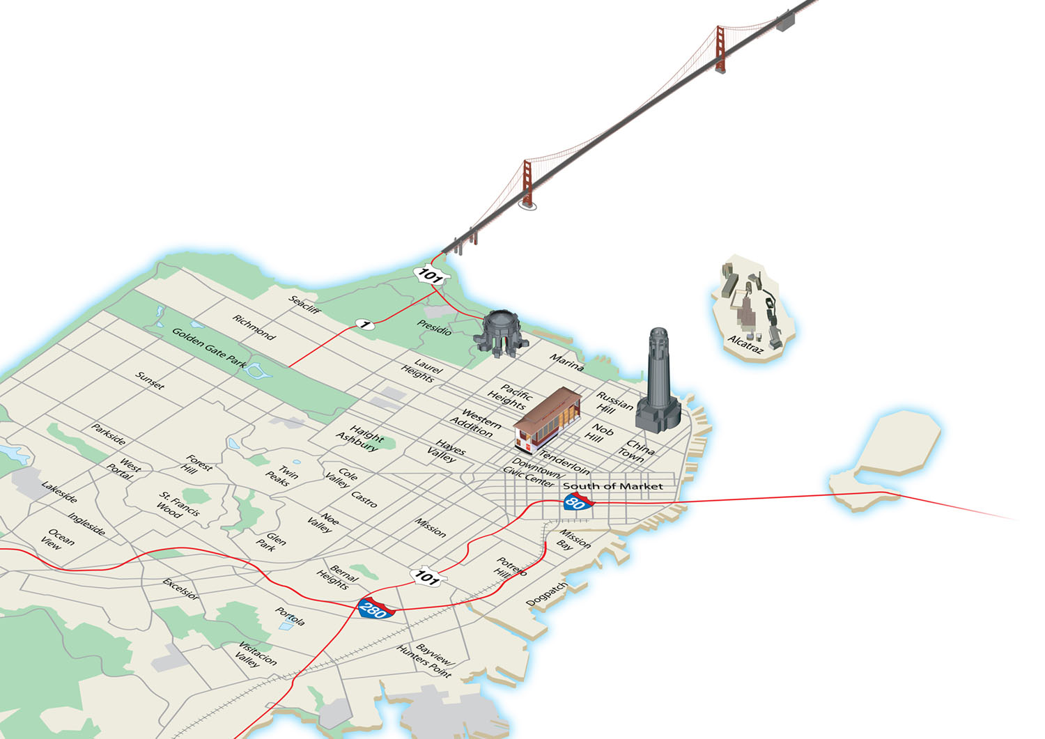
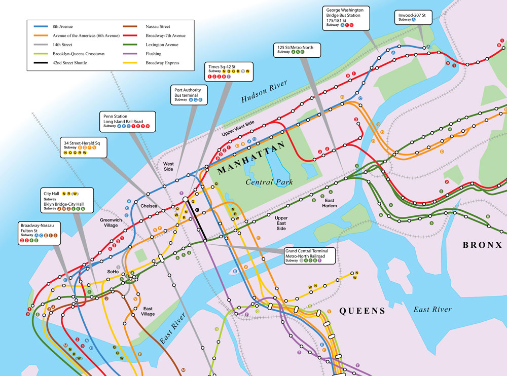
Maps
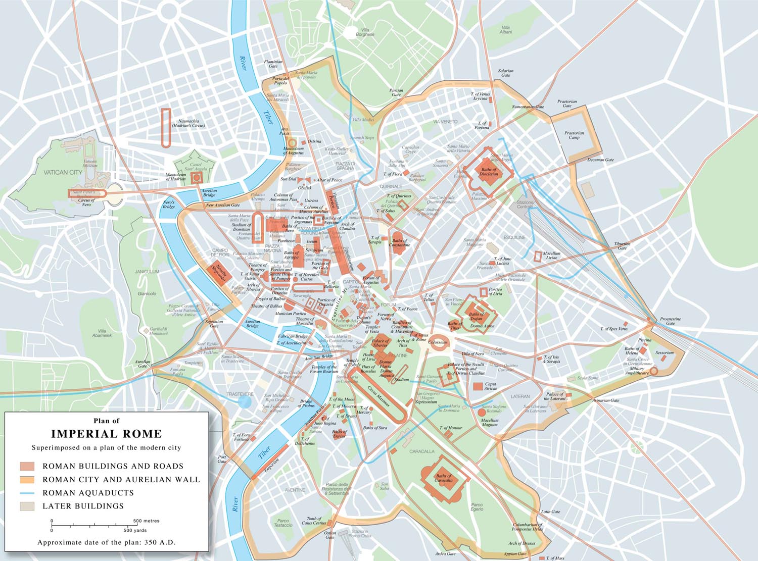
Maps of cities, countries and regions. Route maps, historical and battle maps, illustrated maps.
Maps of cities, countries and regions. Route maps, historical and battle maps, illustrated maps.
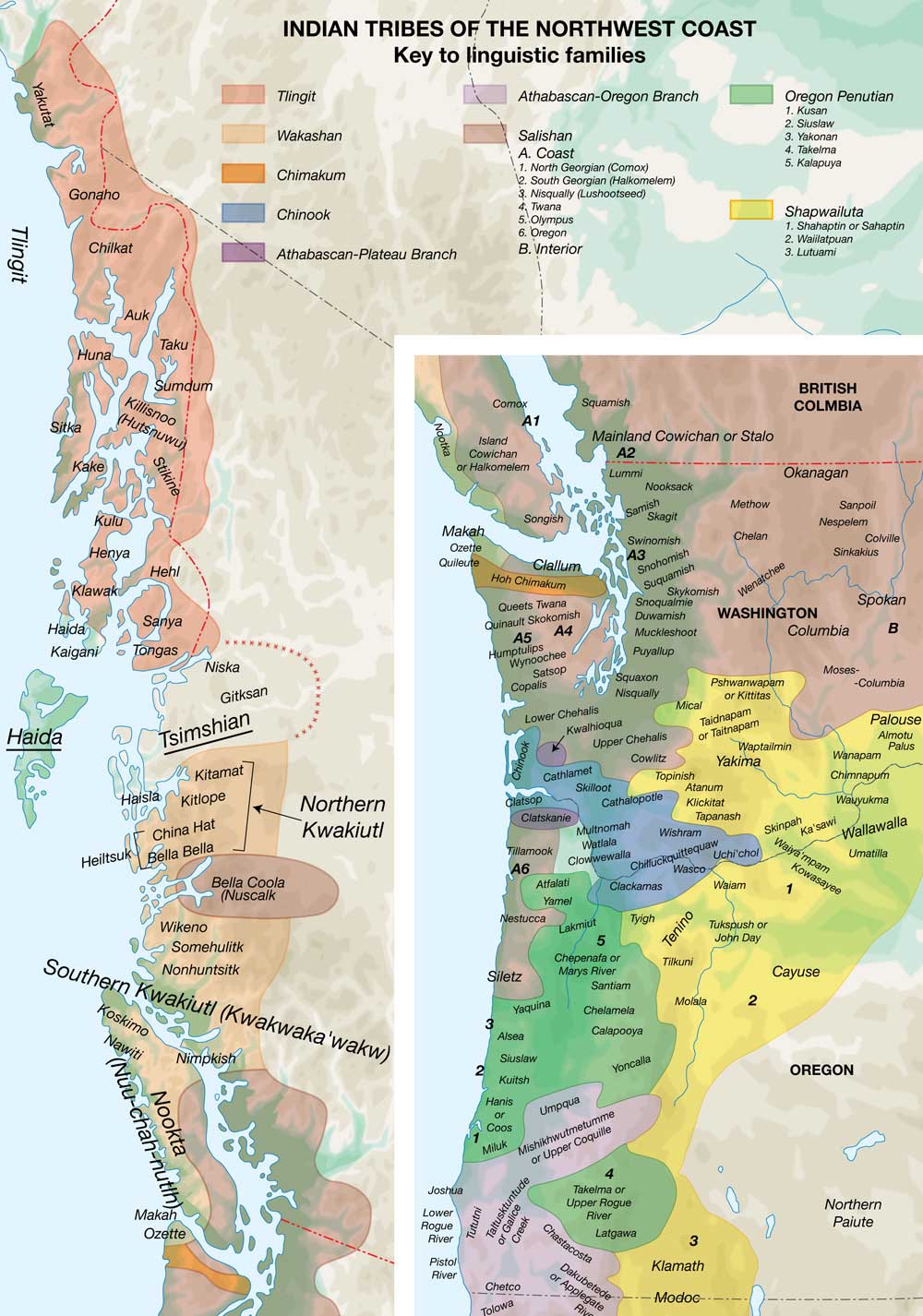
A series of maps for Johnson & Hook’s “Encyclopedia of Native Tribes of North America”
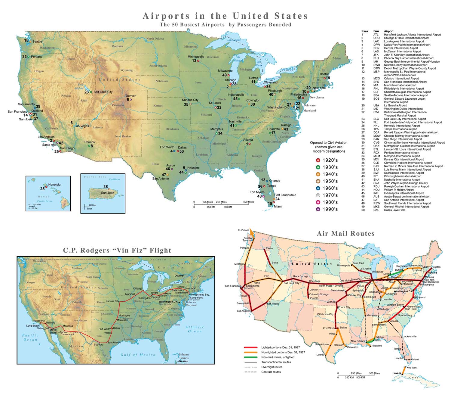
Maps showing the development of civil aviation in the US.
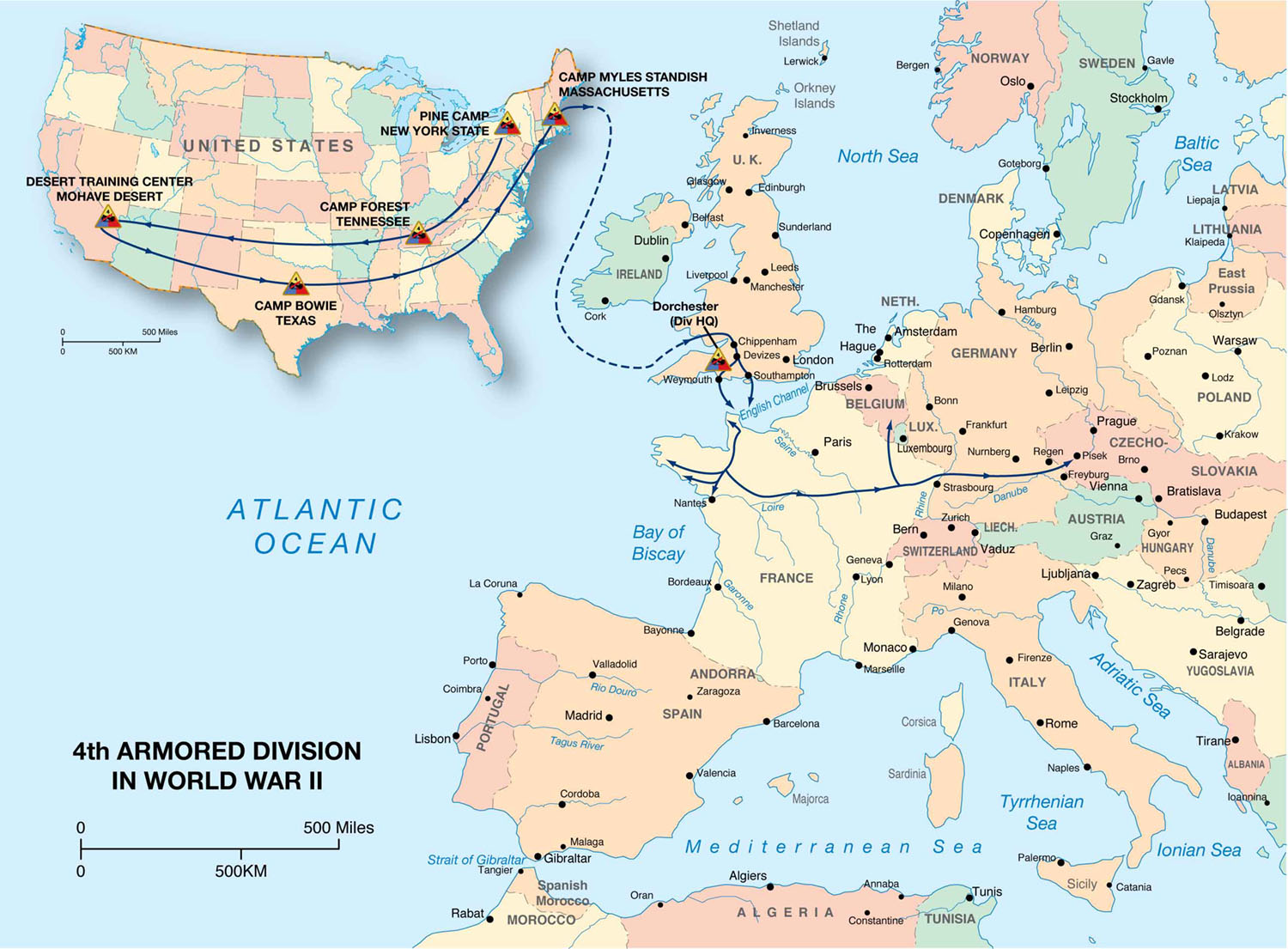
Map showing the deployment of the 4th Armored division. I was fortunate to have provided maps and illustrations to all of Ian Allan’s “Spearhead” series